Professional Geophysical Research for Civil Engineering and Infrastructure
Engineering geophysics - Comprehensive Ground Investigation Without Interfering With The Terrain
The modern engineering geophysics methods we offer enable precise analysis of ground conditions without the need for drilling. Our non-invasive surveys provide precise information about the subsurface structure. much faster and more economical than traditional methods, while at the same time perfectly complementing them in the investment preparation process.
We have our own, highly qualified team of engineering geophysics specialists who perform comprehensive research for the following purposes:
Geological and Engineering Documentation
Hydrogeological Studies
Mineral Deposit Assessments
Geotechnical Expert Reports
Our geophysical services are a key research tool used both in our own projects and as a specialist service provided to other geological companies and directly to investors.
Why Choose Our Geophysical Research?
Many years of experience in the implementation of complex infrastructure projects
Qualified staff with official powers for designing, performing and documenting geophysical works
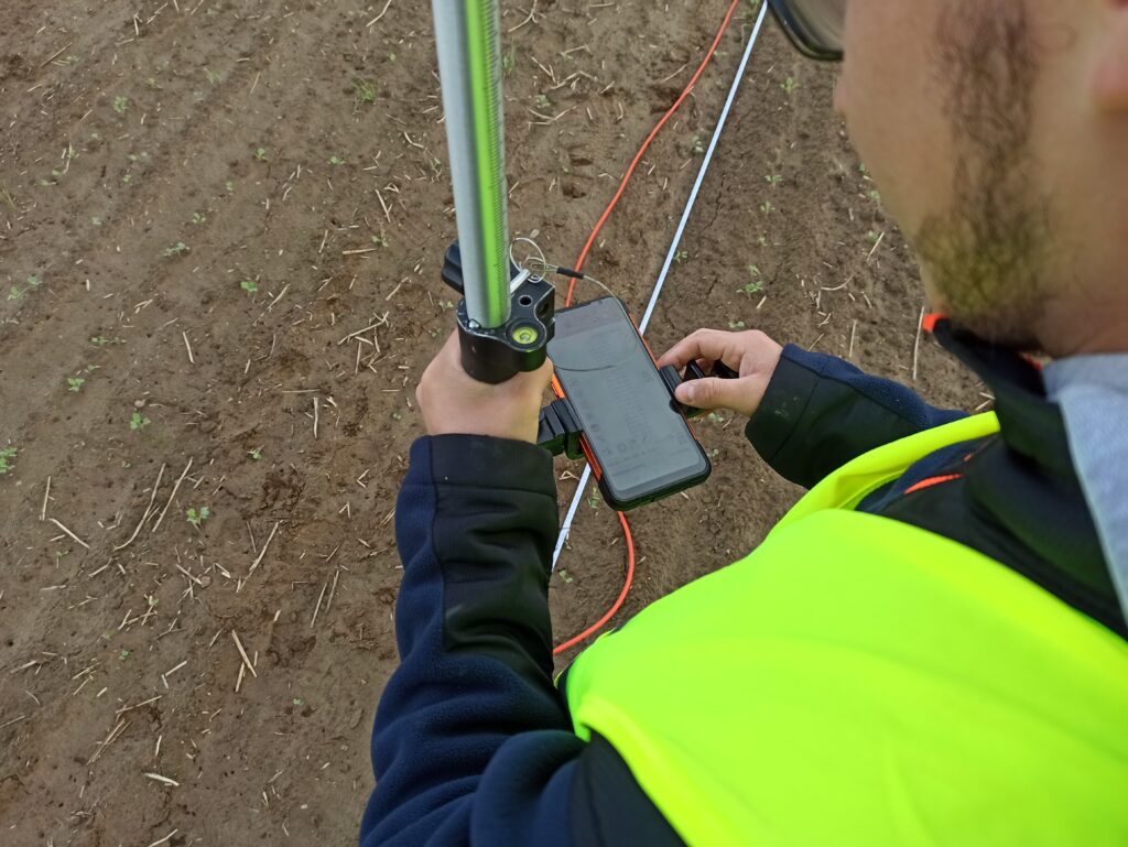
Use state-of-the-art measuring equipment guaranteeing precise results
Advanced interpretation software enabling detailed data analysis
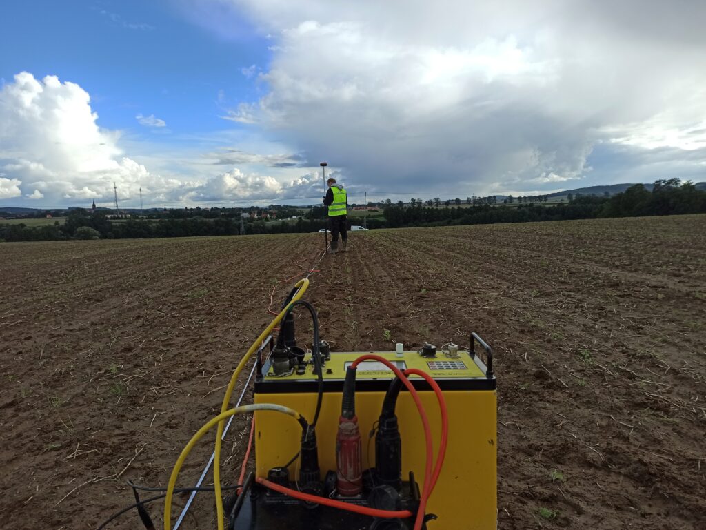
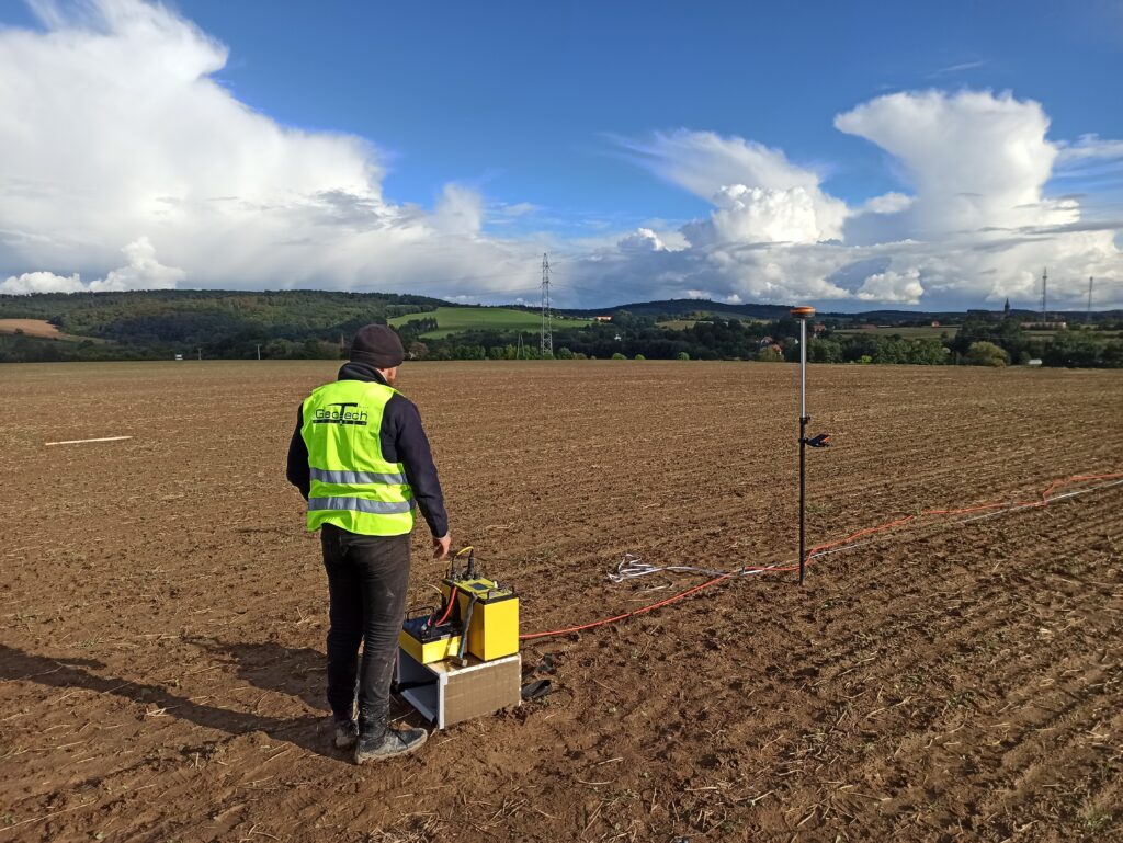
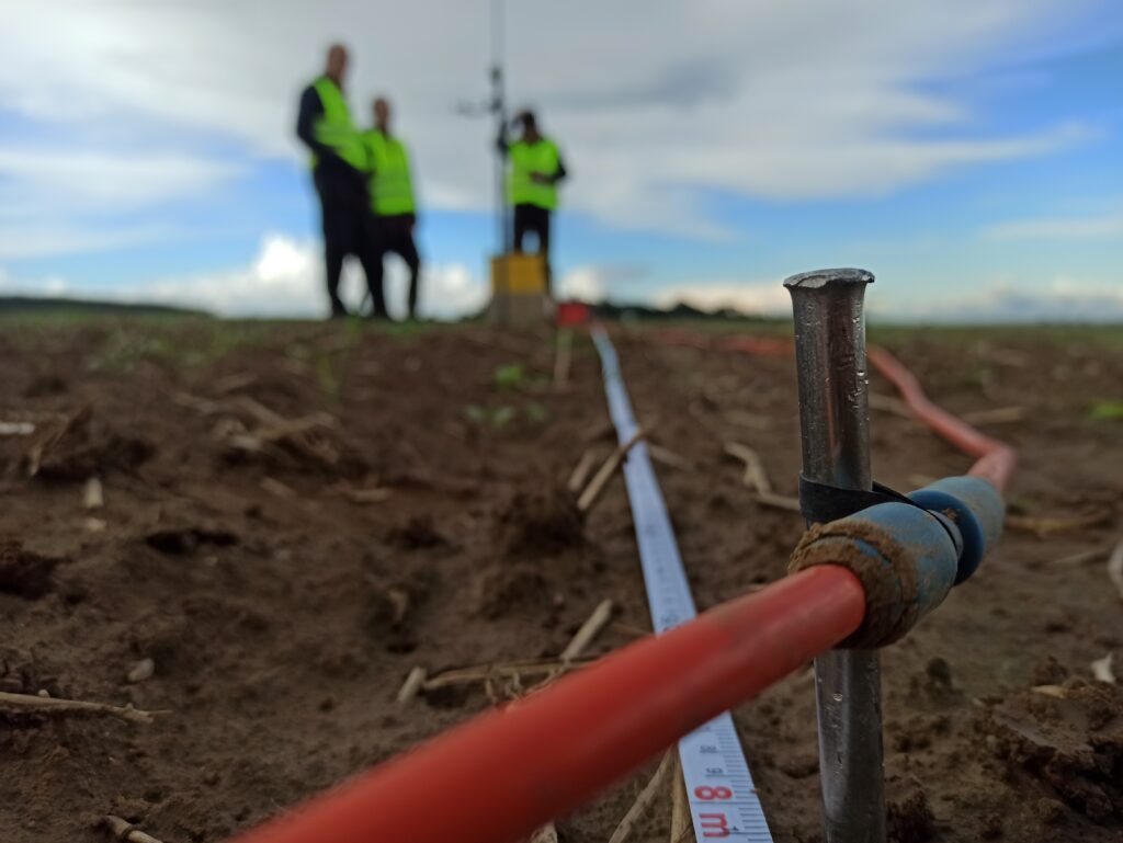
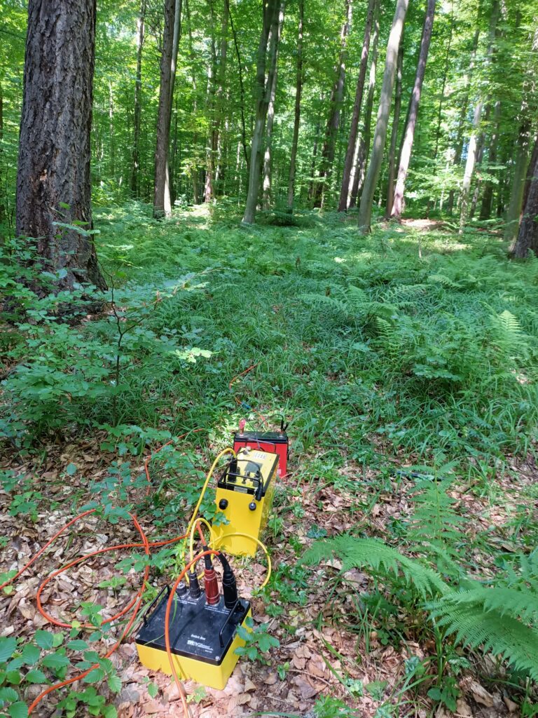
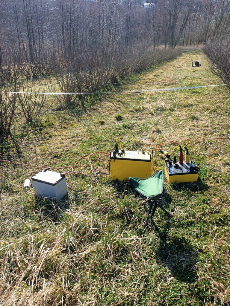
It allows the identification of zones of different electrical resistivity, enabling the detection of geological layers, voids, water-logged zones and other subsurface anomalies.
2. Seismic Research
We use seismic waves to determine soil parameters, detect geological faults, and assess the bearing capacity of the ground – crucial when designing tunnels, bridges, and other engineering structures.
3. Ground Penetrating Radar (GPR) Surveys
A method that uses electromagnetic waves to precisely image shallow ground structures, ideal for detecting underground infrastructure, voids and ground discontinuities.
Selected Geophysical Projects
Tunnel Projects:
Comprehensive geophysical surveys (seismic and electrical resistivity) for the construction of two road tunnels along the planned S-69 expressway
Comprehensive geophysical surveys (seismic and electrical resistivity) for the construction of two road tunnels along the planned S-3 expressway
Geoelectrical surveys for the identification of the geological structure in the area of the road tunnel along the Warsaw Southern Bypass
Road and Bridge Projects:
Electrical resistivity tomography tests for securing landslides along the S-7, S-69 roads and the A-4 motorway
Determining the spatial extent of low-bearing (organic) soils along the planned A-1 motorway
Riverbed geo-electrical surveys for detailed geological assessment near the Vistula bridge on the Southern Bypass of Warsaw
Riverbed geo-electrical surveys near the Wisłok River bridge on the Rzeszów Bypass
Specialized Projects:
Determining the depth of rock occurrence and identifying fracture zones, weaknesses and weathering pockets for quarries in the Świętokrzyskie Voivodeship
Tests of the tightness and continuity of the Pszczynka River embankments
Comprehensive electrical resistivity and seismic studies for the construction of wind farms in the Przemyśl and Nozdrzec area
Seismic surveys for the construction of a cement plant in the Częstochowa and Chełm regions
Microgravimetric studies for the Jadwiga Heap and the Kazdębie area as part of comprehensive geotechnical studies